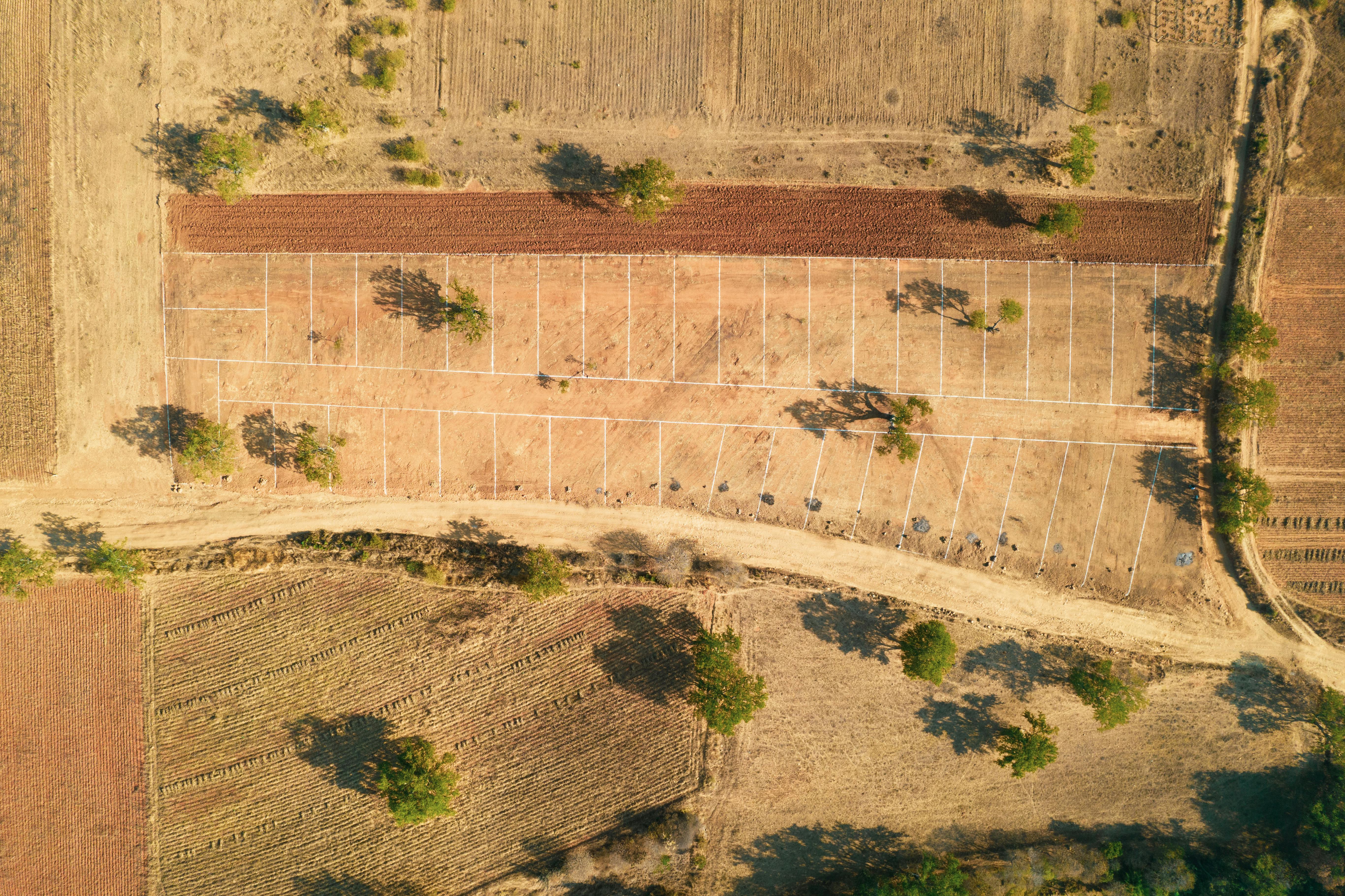
May 25, 2026 | Boundary Survey
How to Verify Land Beacons Before Buying in Kenya
Buying land without proper boundary verification can lead to disputes, construction delays, and expensive legal complications.
Practical guides on land verification, survey planning, coordinate systems, RTK/GNSS, remote sensing, and GIS workflows in Kenya.
Powered by Jekyll: add Markdown files to `_posts`, rebuild, and every article appears here automatically.
Buying land without proper boundary verification can lead to disputes, construction delays, and expensive legal complications.
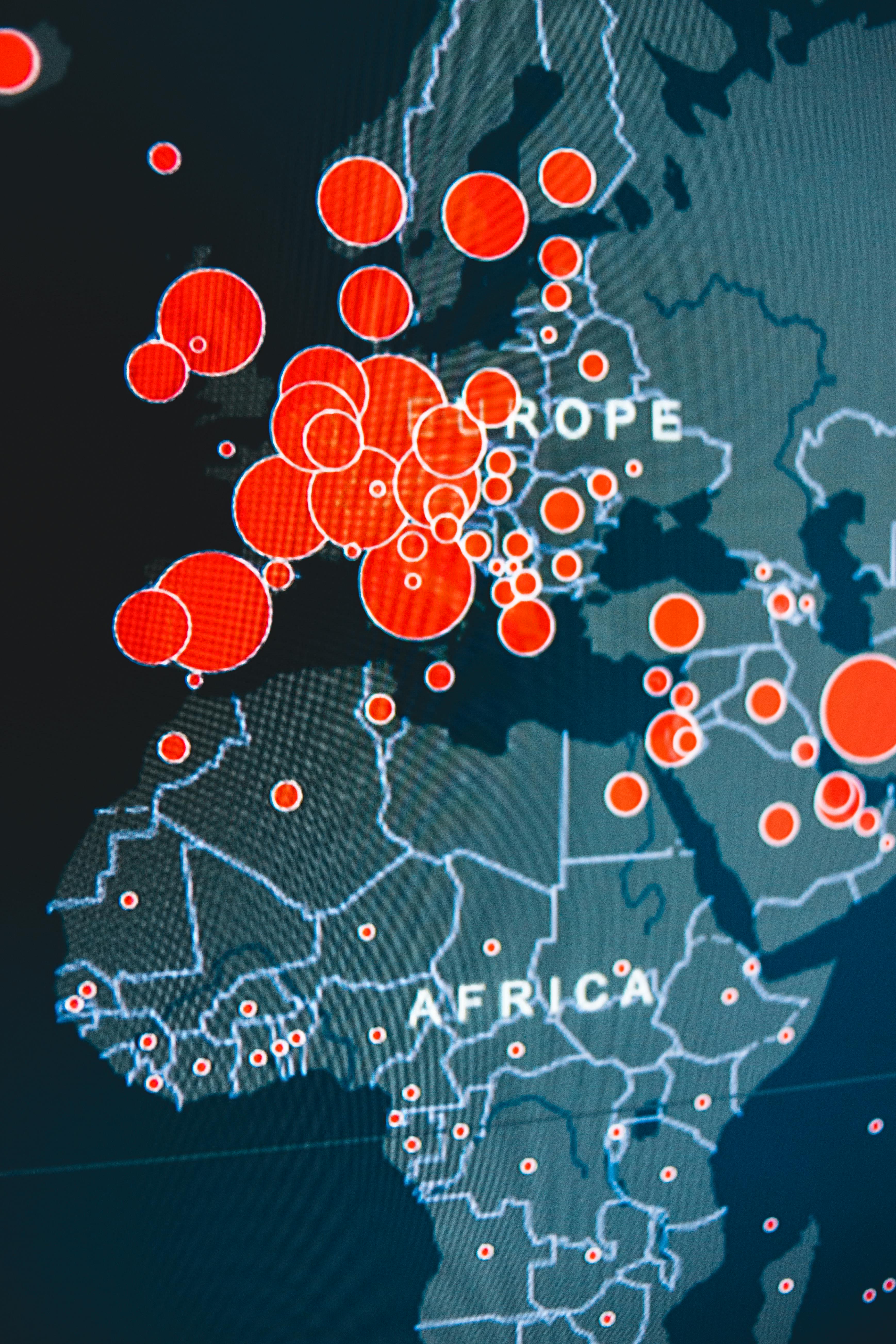
GIS helps planners understand the relationship between land, roads, utilities, zoning, drainage, housing, and growth.
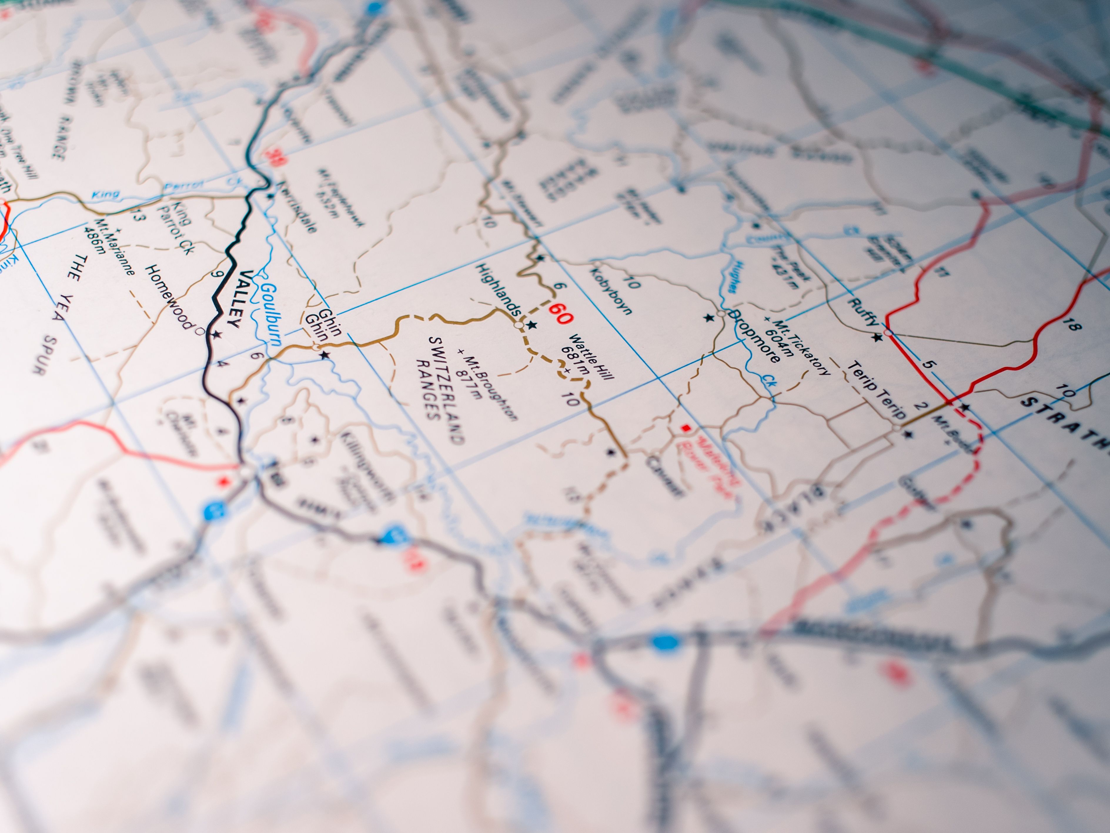
Drone mapping gives fast visual coverage. RTK and total station survey give verifiable positional accuracy.

Coordinate systems, datums, and projections can make datasets appear metres apart if not handled correctly.

Satellite and drone imagery can monitor crop health, vegetation stress, and land-use change.
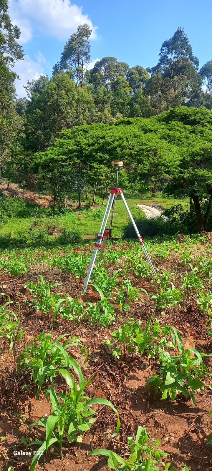
Survey GNSS with RTK corrections is designed for centimetre-level positioning, repeatability, and accountability.
Buying land without proper boundary verification can lead to disputes, construction delays, and expensive legal complications.
How GIS Is Reshaping Urban Planning in African Cities
Drone Mapping vs Traditional Survey: What You Actually Need to Know
Why Your Map Coordinates Might Be Wrong (And How to Fix It)
Remote Sensing for Agriculture: How Satellite Data Is Changing Farming in Kenya
GNSS Explained: Why Your Phone GPS and a Survey GPS Are Not the Same Thing
These longer pieces will include field context, deliverable samples, survey workflow notes, and lessons learned from real projects.