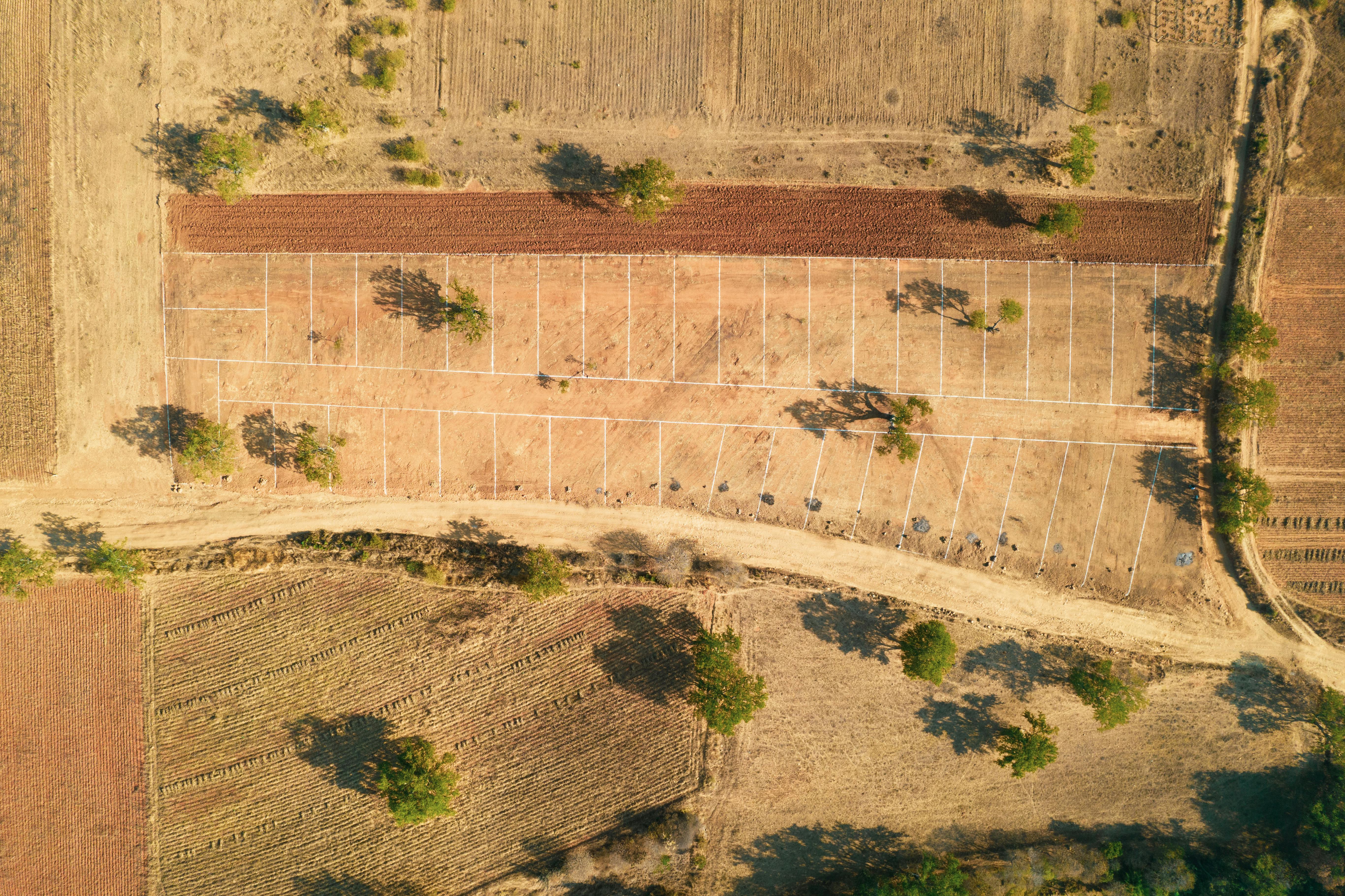
Boundary & Parcel Survey
Boundary verification and coordinate confirmation for landowners and developers. Beacon identification, parcel mapping, and signed survey report.
Real geospatial engineering projects - RTK surveys, topographic mapping, control networks, GIS workflows, and construction support across Kenya.
A sample of field work, deliverables, and geospatial outputs produced for clients across Kenya.
Boundary verification and coordinate confirmation for landowners and developers. Beacon identification, parcel mapping, and signed survey report.

Control point establishment and setting-out support for engineering works. Grid layouts, level transfers, and as-built verification.
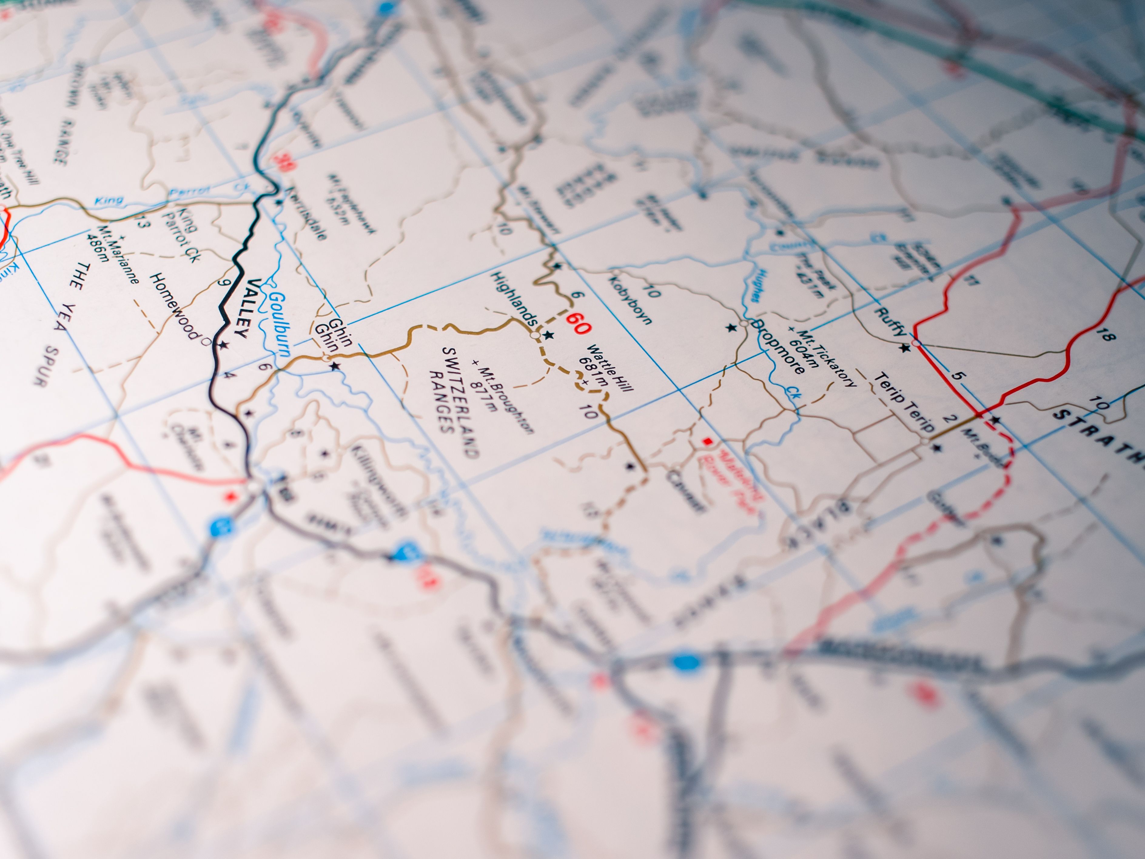
Contours, spot heights, terrain models, and CAD-ready mapping outputs for design, planning, and development teams.
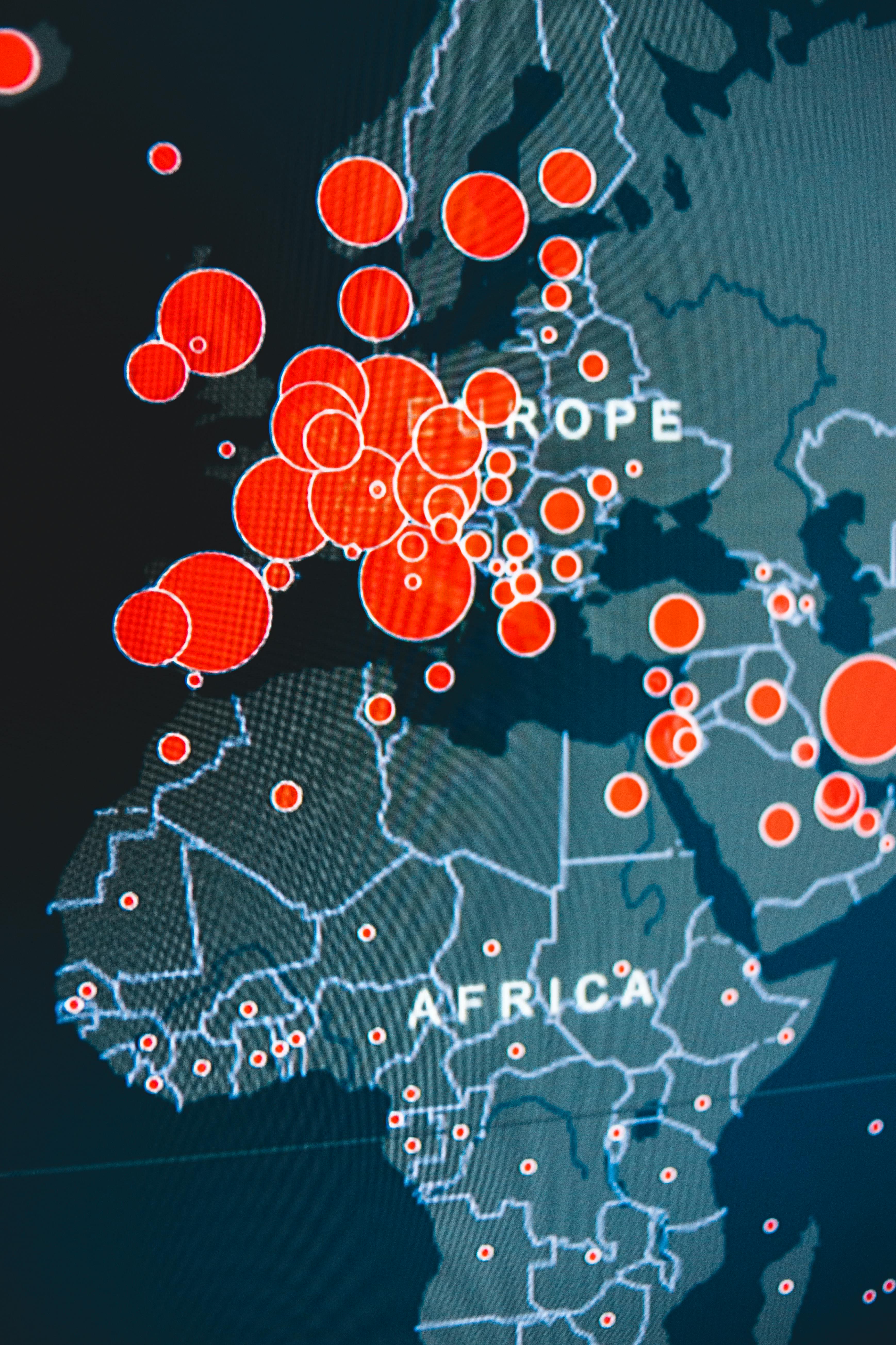
Digital mapping, spatial layers, and analysis outputs. Deliverables in GIS formats ready for further processing or client use.
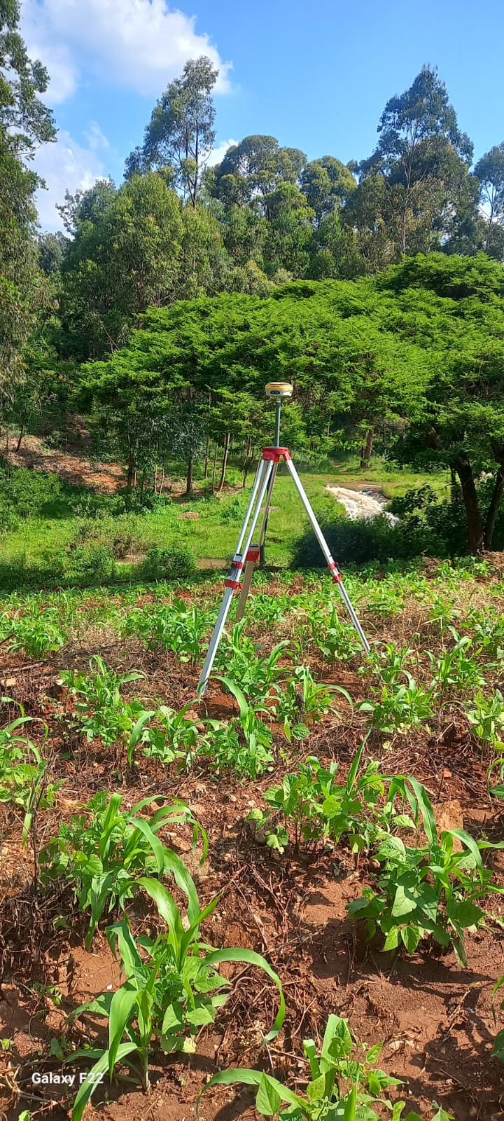
High-accuracy GNSS control point surveys for engineering projects and large site layouts requiring precise coordinate control.

PDF maps, CAD drawings, coordinate reports, and GIS files - formatted for clients, consultants, architects, and contractors.
Detailed project breakdowns are being prepared with deliverable samples, field notes, quality checks, and technical summaries.