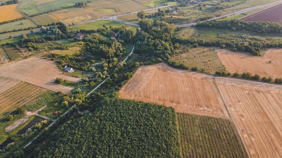
01 / Boundary
Land & Boundaries
Beacon verification, cadastral checks, parcel mapping, and ownership due-diligence support.
Land surveying, boundary confirmation, topographic surveys, construction setting-out, GPS/RTK mapping, and GIS deliverables - field to finish across Kenya.
A clear operating structure for every project: legal boundaries, terrain, construction control, and reusable spatial data.
Beacon verification, cadastral checks, parcel mapping, and ownership due-diligence support.
Contours, spot heights, levels, drainage indicators, and development-ready terrain data.
Setting-out, control points, grid lines, level transfer, and as-built verification.
GIS layers, remote sensing interpretation, land-use insight, and reusable map products.
Survey work is not one-size-fits-all. Each client needs a different level of precision, format, speed, and decision support.
Boundary verification, beacon checks, parcel maps, and land-buying due diligence before money changes hands.
Topographic surveys, site constraints, access checks, coordinate control, and planning-ready terrain data.
Setting-out, level transfer, grid control, as-built checks, and repeatable construction reference points.
CAD-ready survey drawings, contour maps, GIS layers, and site information prepared for design workflows.
Land-use mapping, asset inventories, spatial analysis, remote sensing support, and GIS-ready datasets.
Boundary and beacon verification, title-support surveys, and valuation-ready reports for secured lending.
Surveying and geospatial services for landowners, developers, contractors, and planners.
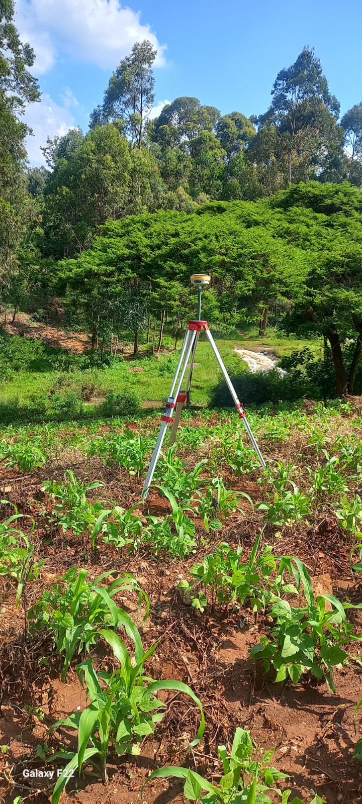
Beacon identification, parcel boundary confirmation, and coordinate-based documentation.
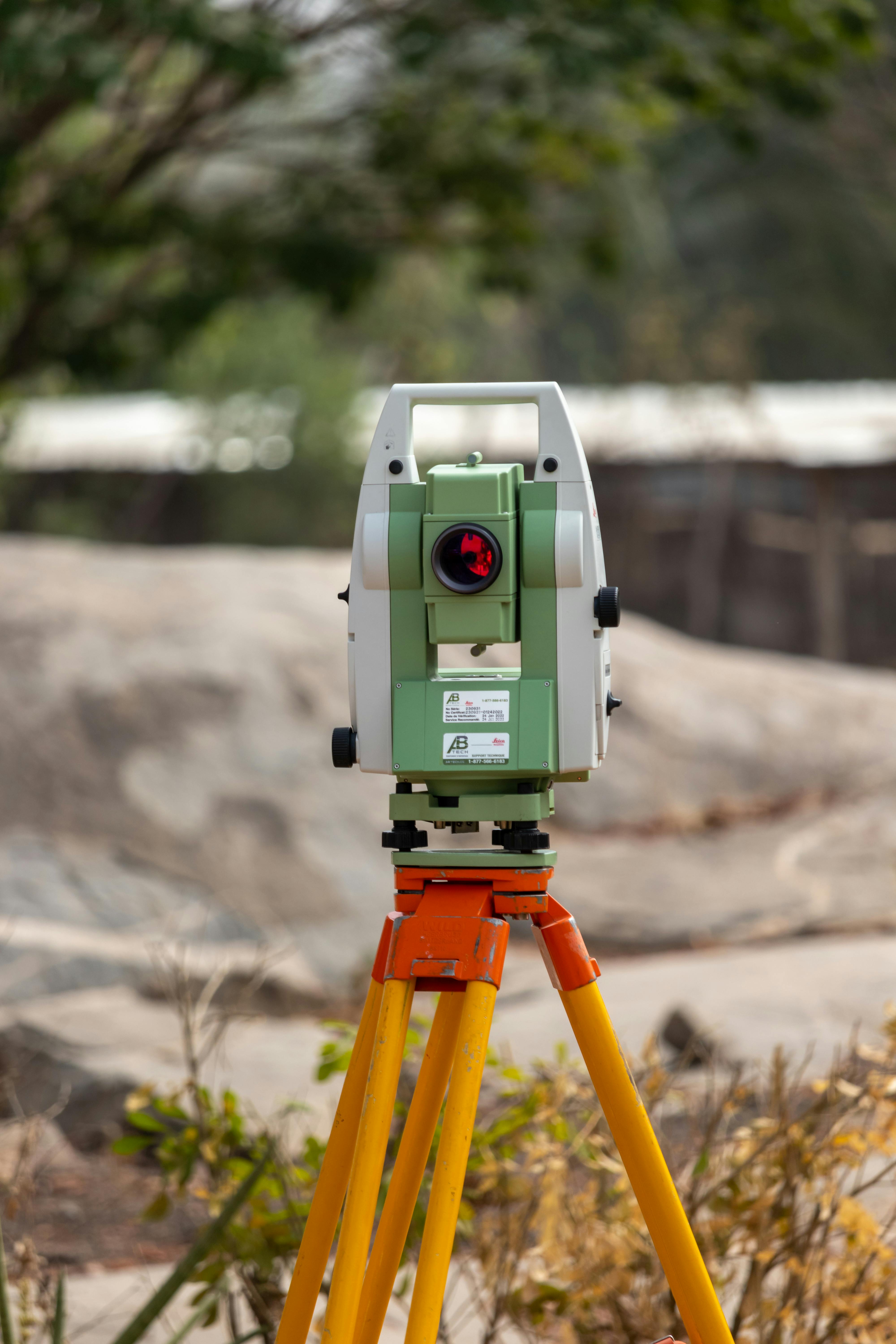
Contours, spot heights, site features, and terrain data for design work.
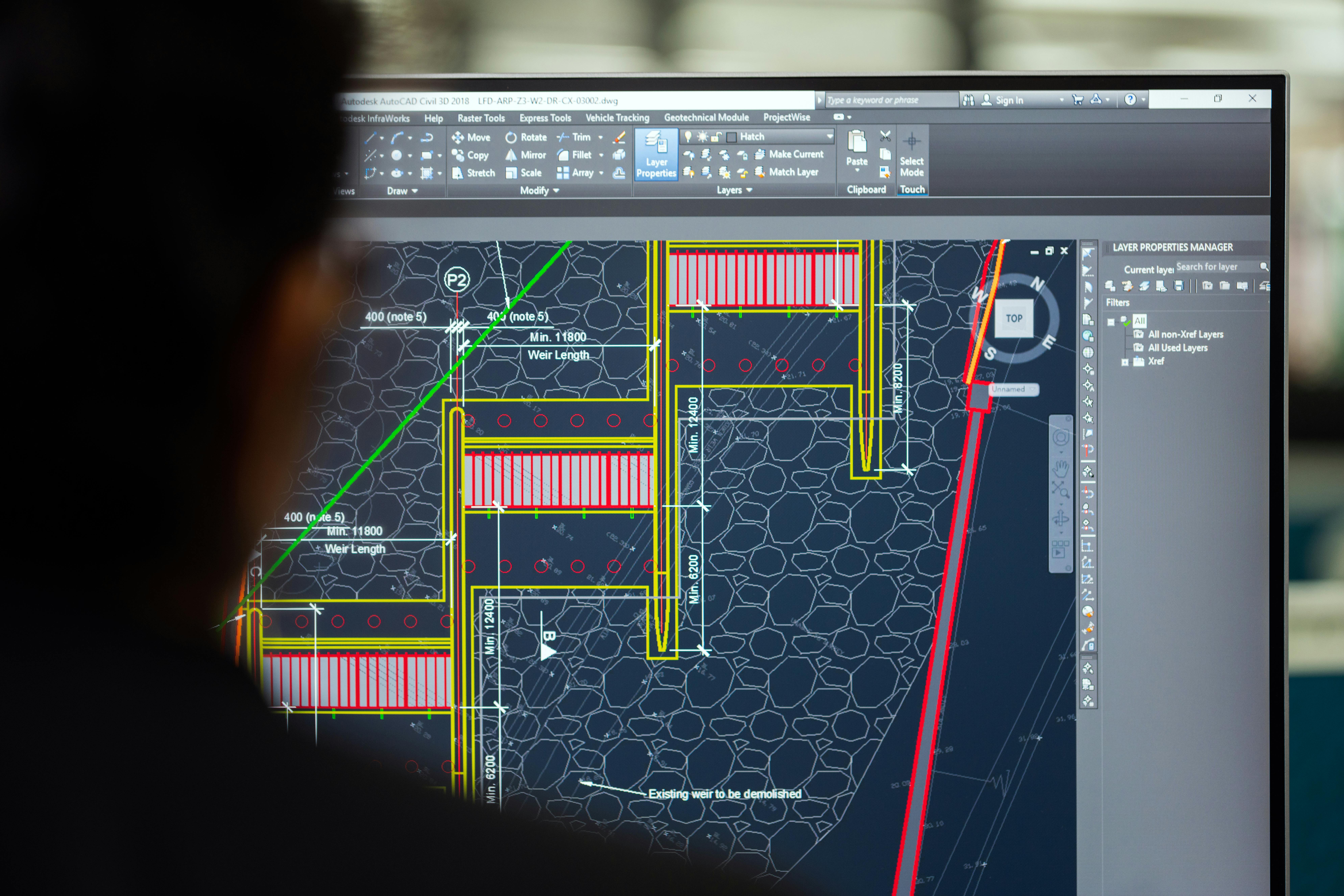
Setting-out, grid control, and level transfer for construction teams.

Fast coordinate capture and high-accuracy location data.

Digital mapping, GIS layers, and spatial analysis.
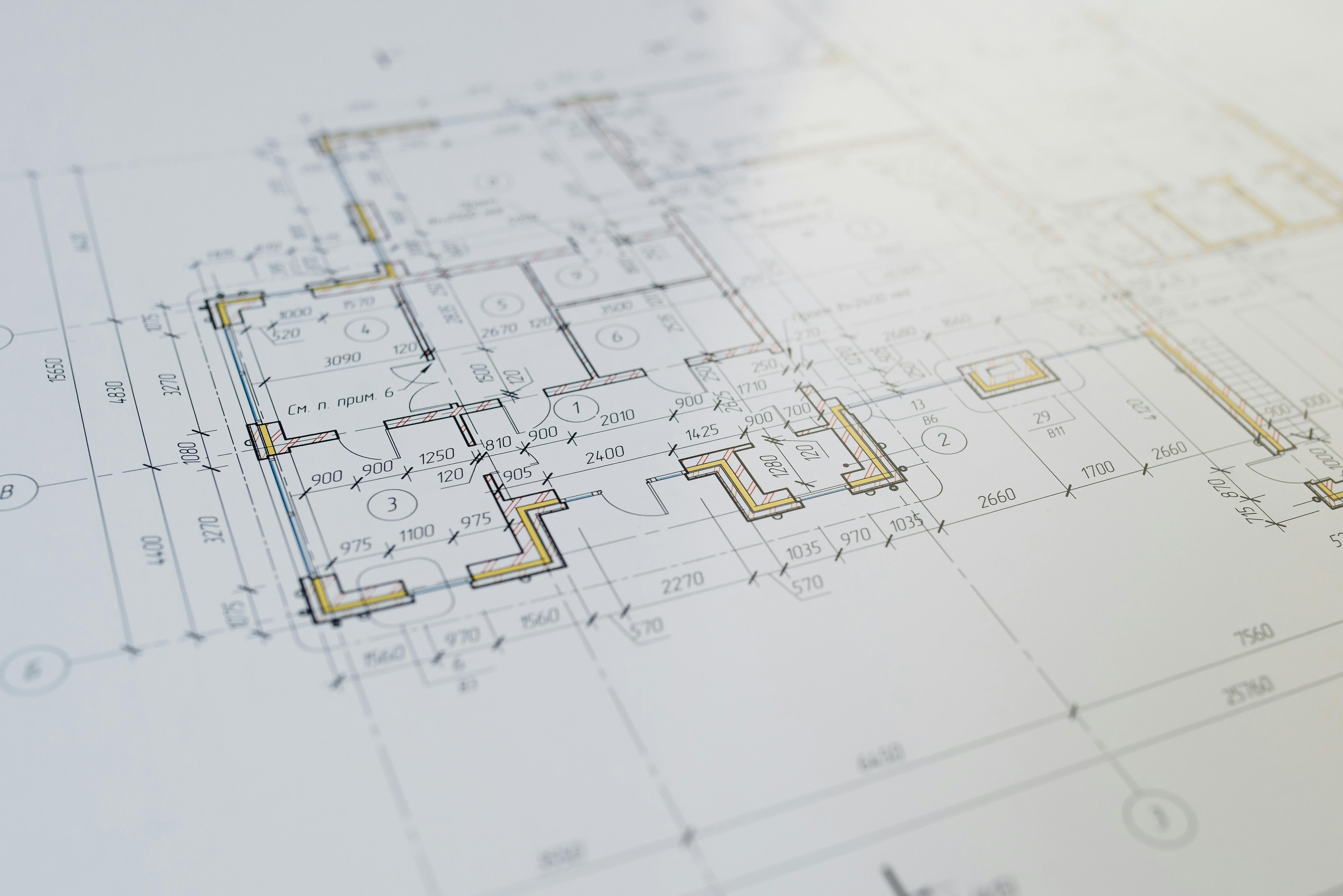
PDF maps, CAD drawings, and GIS-ready files.
Founded by trained geospatial engineers, ZeroPoint Geospatial delivers accurate, decision-ready spatial data.
We combine academic training with hands-on field experience to deliver accurate spatial data. Land in Kenya is valuable - we map it right, one survey at a time.
"We are three engineers who believe the most important data in the world is spatial data." - ZeroPoint Team
High-precision GNSS/RTK, total stations, QGIS, ArcGIS, AutoCAD.
Survey outputs prepared for owners, consultants, contractors, and architects.
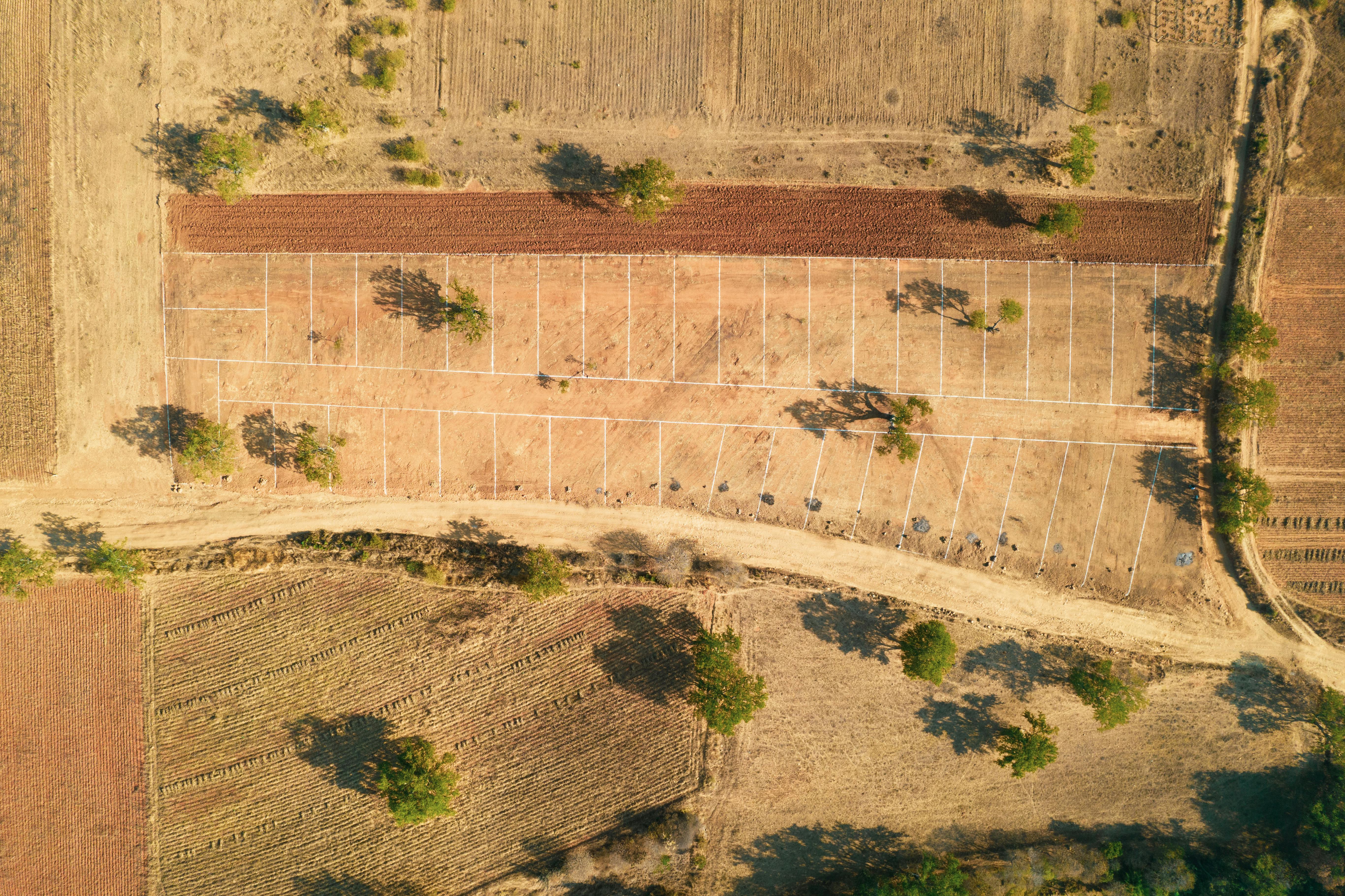
Parcel outline, beacon notes, coordinate table, and client-ready map.
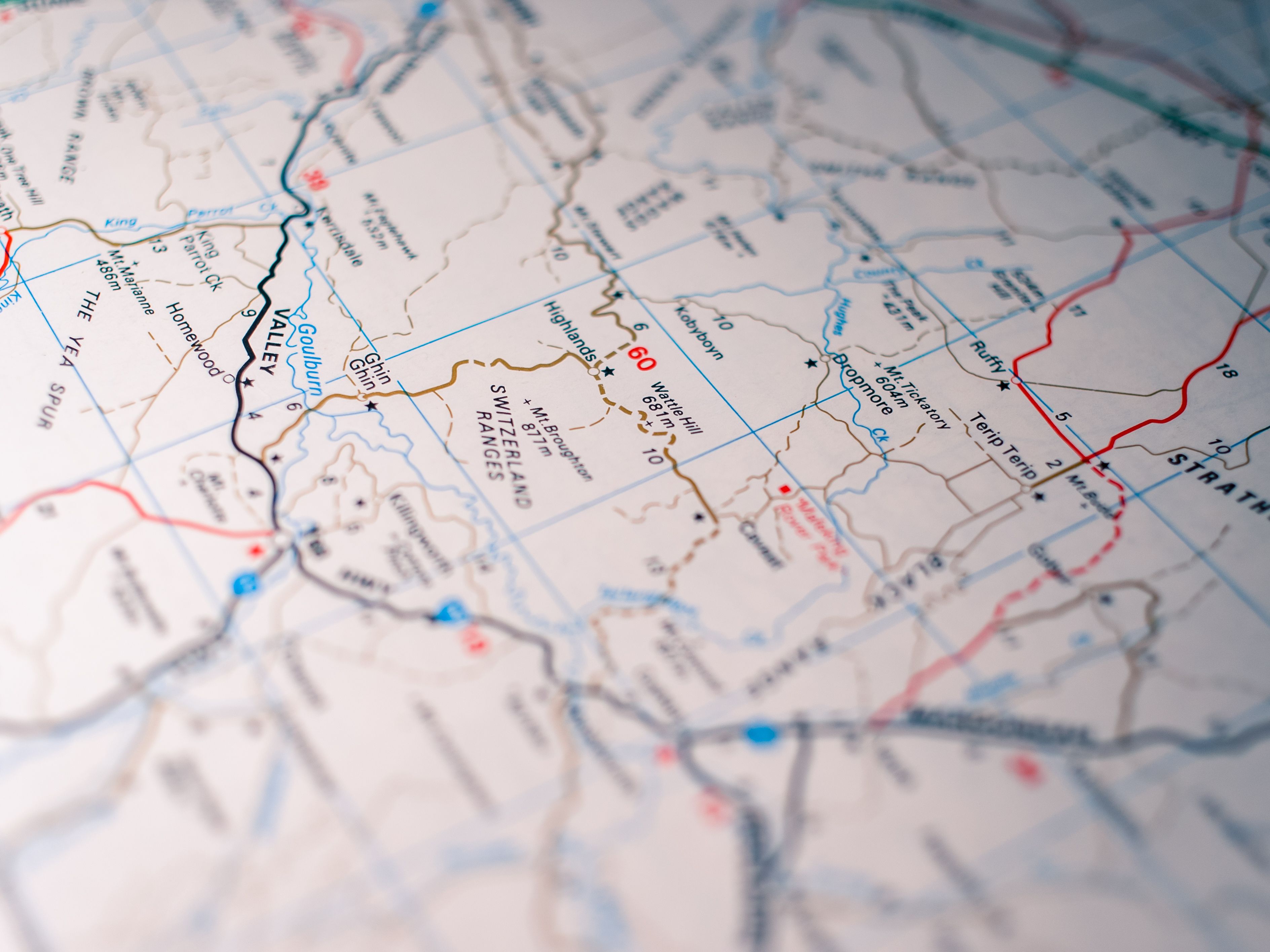
Contours, levels, site features, and CAD/PDF outputs.

Grid lines, control points, reference marks, and level transfer.

Spatial layers, attribute data, and reusable geospatial files.
Clear packages make it easier to scope, quote, deliver, and hand over professional geospatial work.
For land buying, subdivision checks, disputes, and ownership confidence.
For architects, engineers, developers, and planners starting design work.
For contractors who need repeatable, verified site control.
For organizations that need reusable map data, analysis, and reporting.
Send location, land size, service type, and timelines.
Field work planned around access and accuracy needs.
Measurements checked and prepared into deliverables.
PDF maps, CAD files, reports, or GIS layers.
Professional geospatial work is not just a drawing. It is a chain of measurements, checks, coordinate decisions, and deliverable records.
Project details are structured from the first message so pricing, access, and timelines are clear.
Control points, coordinate systems, and field notes stay tied to the final deliverable.
PDF, CAD, GIS layers, and reports are packaged for owners, consultants, and contractors.
Survey files, contact details, and project notes are treated as sensitive client information.
The full writeups are in production. These previews show the kind of decisions each survey package supports.
Beacon checks and coordinate review to help a buyer understand the true limits of a parcel before committing funds.
Contours, site features, drainage indications, and CAD-ready outputs for consultants preparing early design.
Control points and level references to reduce setting-out errors and keep field teams aligned to design intent.
Verified client feedback will appear here as projects are completed and approved for publication.
Share Your ExperienceThe next section will hold deeper project breakdowns once deliverable samples and field notes are approved.
Send project details and our team will respond within 2 hours on business days.