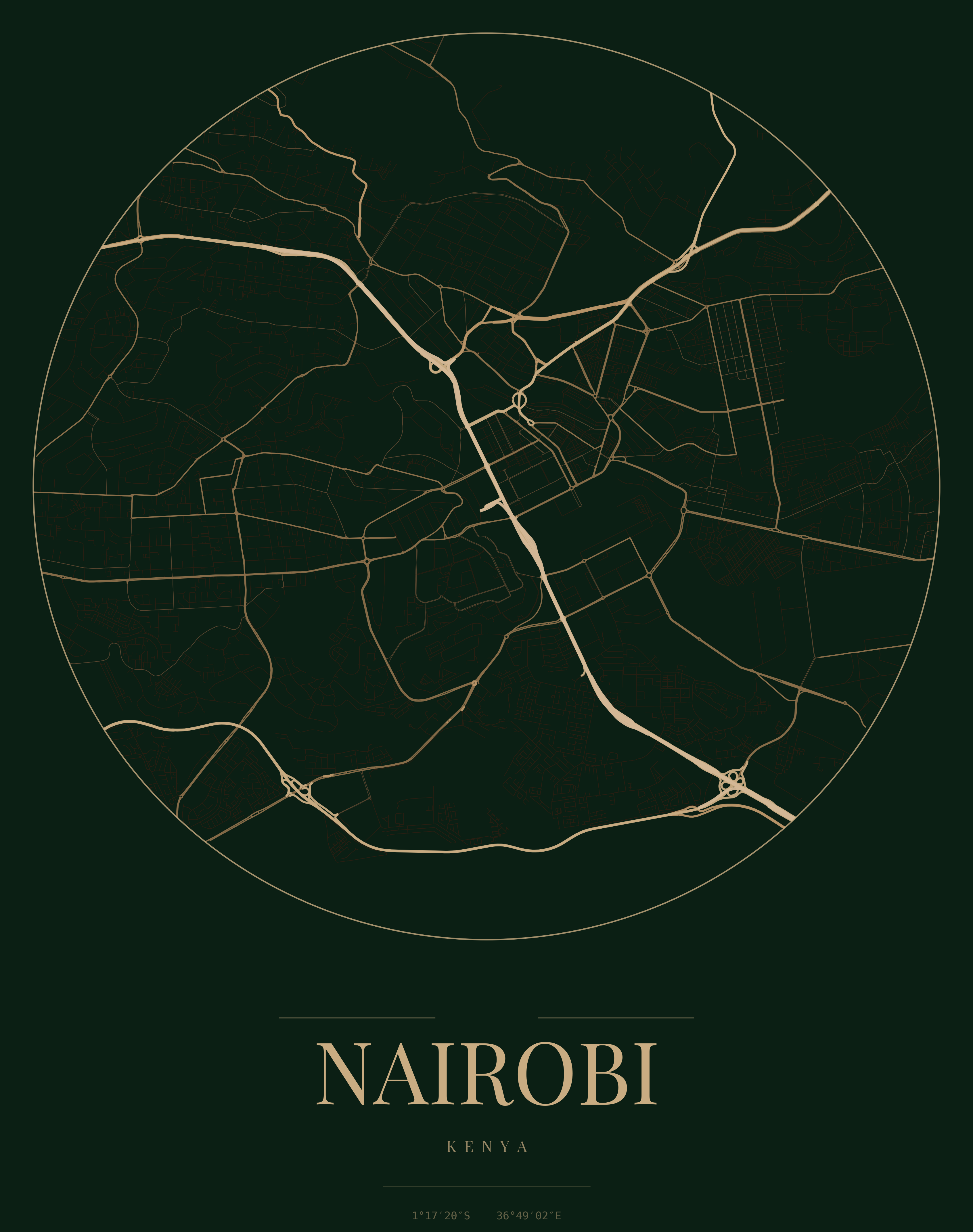

Topographic Map — Nairobi Region
KSh 9,000 – KSh 15,500
A2 · A1 · A0
Detailed contour and relief mapping for the greater Nairobi metropolitan area.
Premium survey-grade map prints for private offices, boardrooms, corridors, and living spaces. Precision mapped by engineers, beautifully framed and ready to hang.
Browse map prints by theme — from county topographics to regional administrative boundaries.
Contours, relief, and terrain models for counties and regions across Kenya.
County boundaries, sub-county divisions, and parcel context maps.
Rainfall, land cover, biomass, and spatial analysis visualisations.
Regional topographics, shipping routes, and multi-country map collections.
Survey-accurate map prints available in multiple sizes and frame finishes. Prices shown are starting rates — final cost depends on size and framing.

KSh 9,000 – KSh 15,500
A2 · A1 · A0
Detailed contour and relief mapping for the greater Nairobi metropolitan area.

KSh 11,000 – KSh 16,500
A1 · A0 · Custom
Full administrative boundary map showing all 47 counties with clear labelling.

KSh 9,000 – KSh 15,500
A2 · A1 · A0
Colour-coded rainfall distribution map ideal for planning and environmental display.

KSh 14,000 – KSh 19,500
A1 · A0 · Custom
High-detail terrain and contour mapping covering the Central Kenya highlands.

KSh 11,000 – KSh 16,500
A1 · A0 · Custom
Regional relief and terrain map spanning Kenya, Tanzania, Uganda, and surrounds.

KSh 9,000 – KSh 15,500
A2 · A1 · A0
Spatial land use layers with transport and infrastructure overlays for urban planning.

KSh 14,000 – KSh 19,500
A1 · A0 · Custom
Engineering-grade contour and spot height map for development and design teams.

From KSh 12,000
Any size · Your data
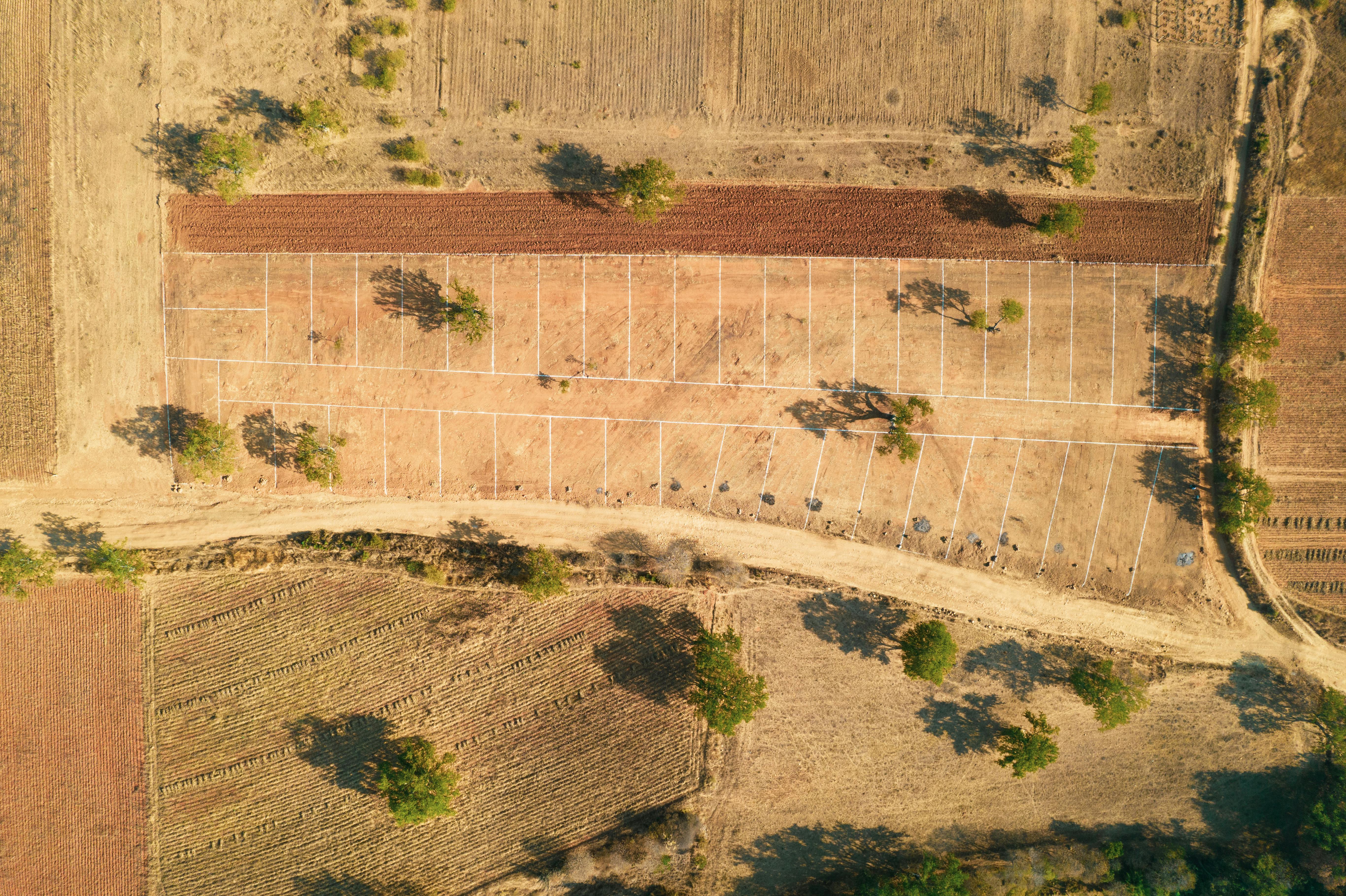
Turn your project deliverable into a framed wall print — boundary, topo, or GIS output.
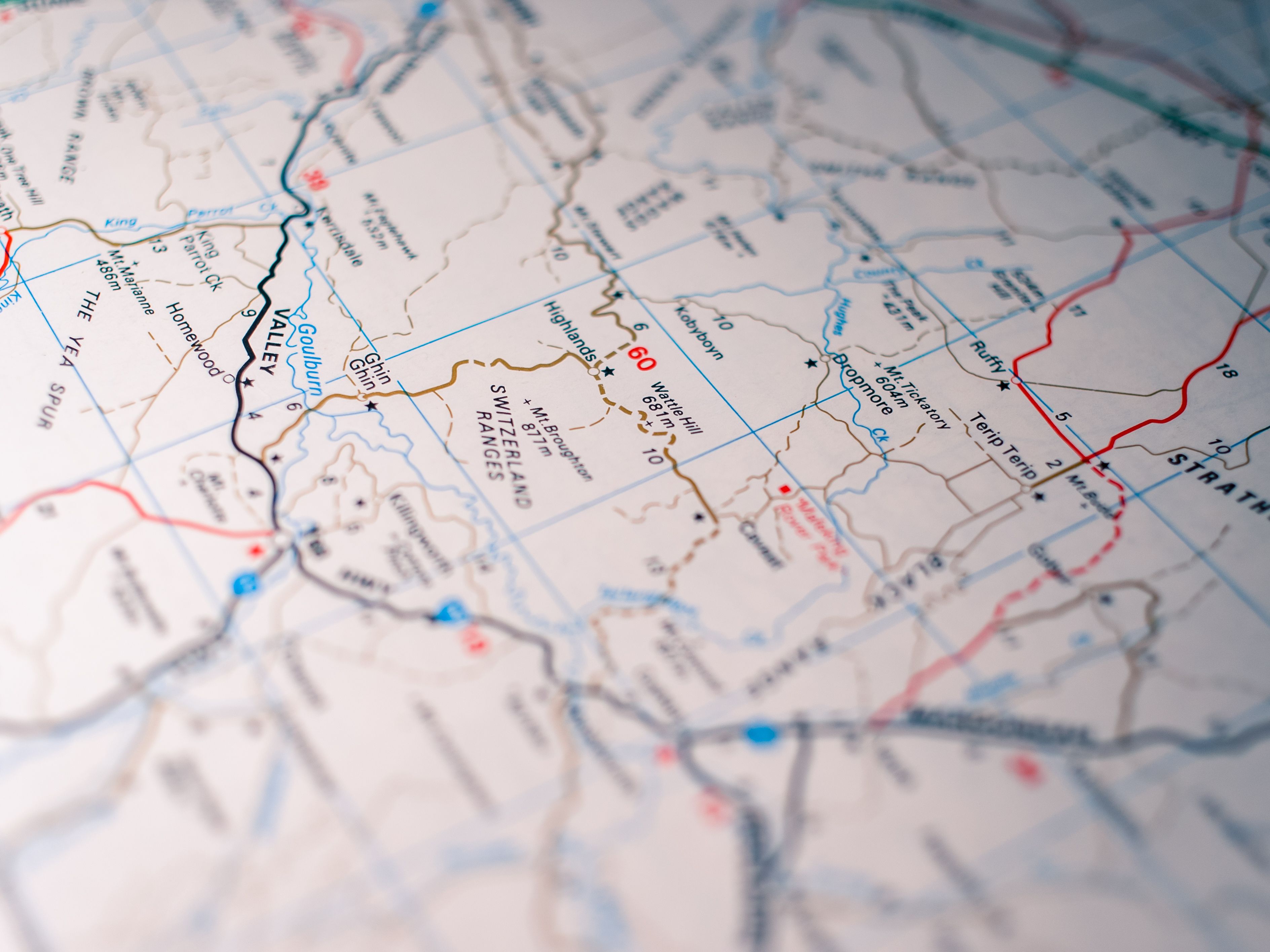
Terrain, contours, and relief maps — ideal for offices, planning rooms, and statement walls.


Clear administrative and parcel context maps for legal offices, land agencies, and corporate spaces.


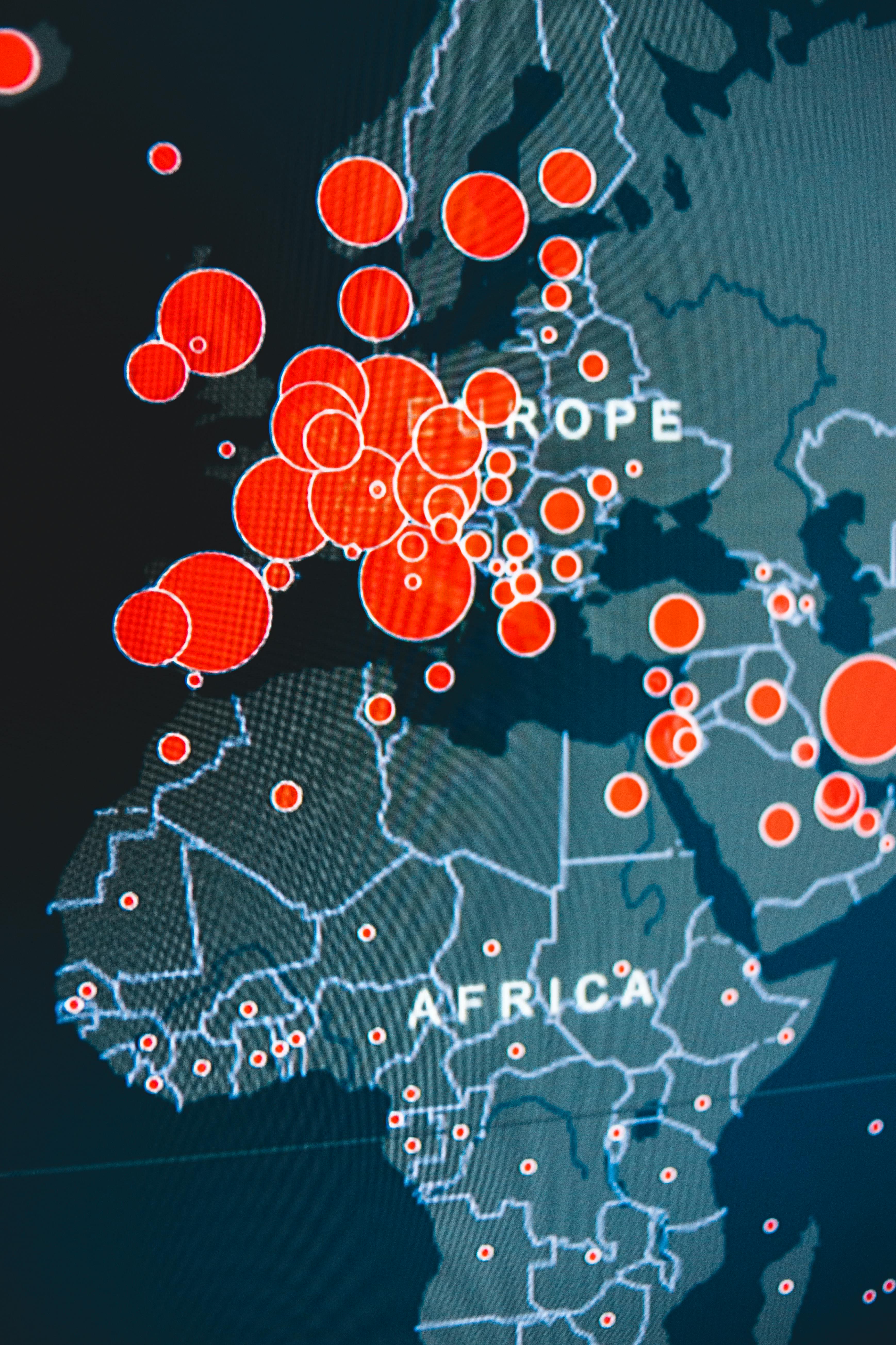
Rainfall, biomass, land cover, and GIS analysis maps — data-rich visuals for informed spaces.


Large-format regional maps for boardrooms, embassies, and international offices.


Ideal for outstanding spaces
From selection to installation — a straightforward process designed for busy professionals.
Browse collections by category, pick a map, size (A2/A1/A0), and preferred frame finish.
Send your selection via WhatsApp or our contact form. We confirm pricing and production timeline.
Receive your print within 24 hours. Free delivery and wall installation within Nairobi.
Survey-grade data, professional finishing, and reliable delivery — mapped by geospatial engineers, not generic poster shops.
Most prints are ready within 24 hours of order confirmation. Orders placed after 12 PM EAT are processed the next business day.
Enjoy free delivery and installation within Nairobi when you purchase framed map prints from our collection.
Every map is produced from verified geospatial datasets — the same precision standards we use in client survey deliverables.
Damaged or defective prints are replaced or refunded. We stand behind the quality of every frame and print we deliver.
We can turn any survey deliverable, GIS output, or site plan into a premium framed wall print. Send us your area of interest, preferred size, and frame finish — we will prepare a quote.